
Browse a large world map of places
The main view is a dark interactive world map built around 71,763 notable places in 349 countries, so you can explore a broad atlas rather than a single destination page.

Detourmap is a free interactive world map of notable places built from open data. It helps travelers and researchers browse places by country or kind, open source-backed place cards, and find lesser-known destinations.
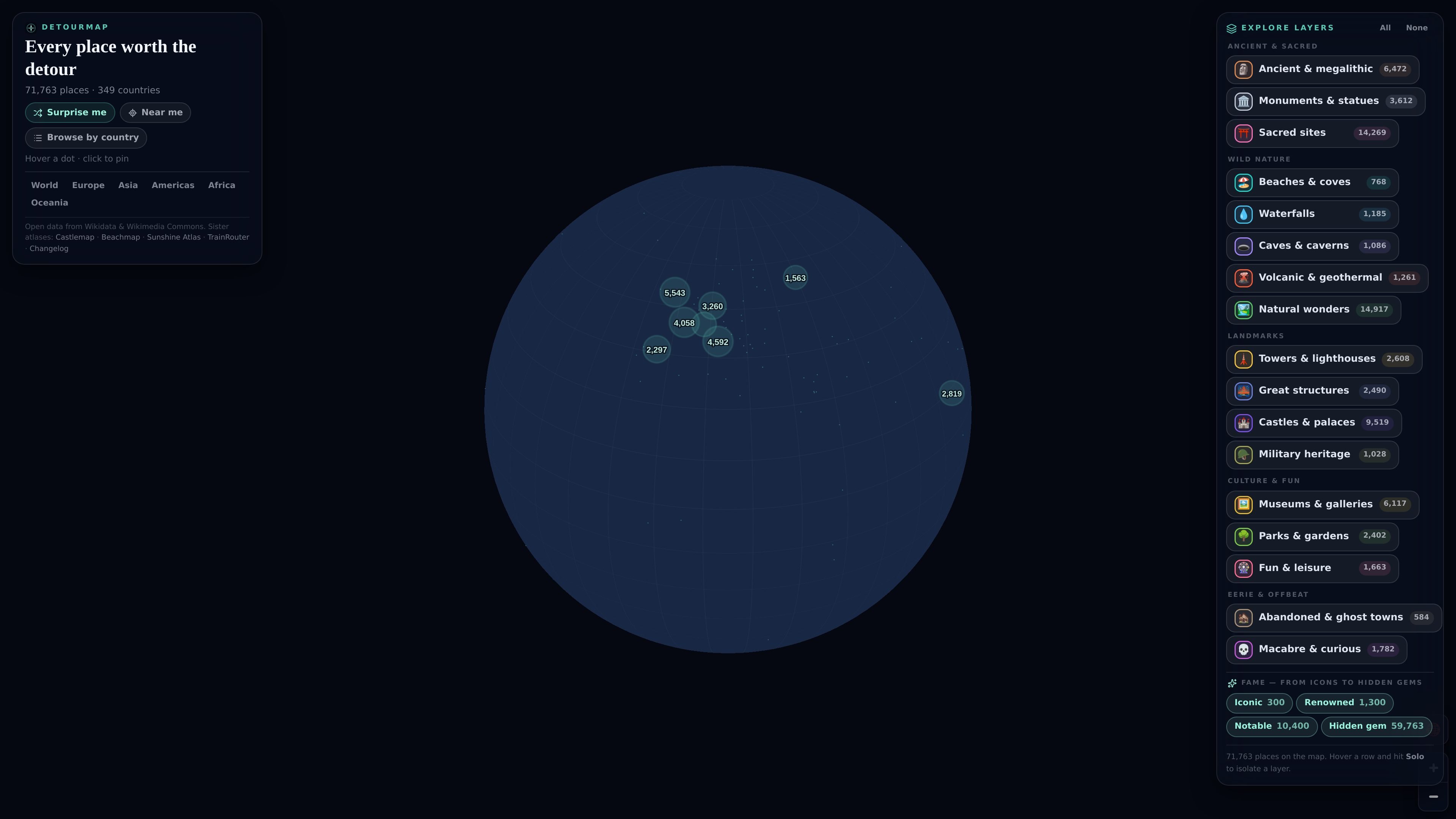
Detourmap is a free interactive world map of notable places built from open data. It combines 71,763 places across 349 countries into a single dark map that is designed for browsing ruins, beaches, caves, waterfalls, volcanoes, castles, museums, ghost towns, and other places people might plan a detour around.
The product is organized around layers, country pages, and a full index. You can start from the map, browse by kind or by country, and open an individual place card to see a photo, a Wikipedia article link, and a map location. Detourmap also ranks places by fame so you can look for well-known landmarks or switch toward the long tail of lesser-known places.
The site’s data comes from Wikidata and Wikimedia Commons, and the map only includes places with coordinates, a photo, and an English Wikipedia article. The changelog shows that the dataset and categories are actively maintained, with regular refreshes and new map features added over time.
The main view is a dark interactive world map built around 71,763 notable places in 349 countries, so you can explore a broad atlas rather than a single destination page.
Every layer has its own page, and every country with eight or more places has a page too. The /places index lets you browse by kind or by country and jump directly to the map from any card.
Each place card includes a photo and a Wikipedia article link, and clicking a card flies the map to that location. The site also assigns fame tiers to places so you can separate iconic spots from hidden gems.
The map is organized into seventeen themed layers such as ancient sites, beaches, waterfalls, castles, museums, parks, and abandoned places, making it easier to narrow exploration to a specific travel interest.
The changelog shows regular map updates, category audits, new layers, and data refreshes from Wikidata, including a downloadable dataset and an MCP server mentioned there.
Start from a country, inspect the kinds of notable places it contains, and use the ranked lists to find stops that fit a trip or road route.
Browse by a specific layer such as castles, waterfalls, caves, or ancient sites when you already know the type of place you want to find.
Switch off famous tiers or use Surprise me to surface less obvious places for reading, browsing, or building a list of unusual destinations.
Use the full index to open a place card, read the linked Wikipedia entry, and jump to the map location for quick fact-checking or background research.
Follow the changelog to see when categories are refreshed, places are reclassified, and new map functions are added.
Detourmap is an interactive world map of notable places. You can browse the full map, open a country page, or filter by kind such as ancient sites, castles, waterfalls, caves, museums, and ghost towns.
Yes. The site says Detourmap is free, with no account and no ads.
Detourmap shows places on an interactive map and also provides pages by country and by kind. The site notes that the map needs JavaScript and WebGL to run.
Place records come from Wikidata under CC0, and photos come from Wikimedia Commons. A place appears only if it has coordinates, a photo, and an English Wikipedia article.
Detourmap uses fame tiers such as Iconic, Renowned, Notable, and Hidden gem. You can switch off the famous tiers, and the Surprise me option tends to surface lesser-known places more often than not.

MacSpoof change ou randomise l’adresse MAC Wi‑Fi sur macOS pour reconnecter aux réseaux et limiter l’enregistrement de votre identité sur Wi‑Fi public.

NomNak est une app iPhone gratuite pour découvrir des restaurants grâce aux recommandations d’amis, avec spots enregistrés, passeport food et recherche par ville.

TyeGit, client Git natif pour développeurs, offre un contrôle rapide et précis des stages, commits, branches et remotes sur Windows, macOS et Linux.

Loomal is a payments layer for agentic commerce that lets developers add paywalls to APIs, MCP tools, or hosted files. It settles agent payments in USDC on Base and is aimed at services that want per-request payment from AI agents.

idmly converts self-contained HTML designs into editable Adobe InDesign (.idml) files. It is built for designers and teams that need browser-made or AI-generated layouts turned into InDesign without rebuilding them by hand.

Rokoko is a motion capture software and hardware ecosystem for body, finger, and face animation. Rokoko Studio processes capture data, lets creators clean and retarget it, and streams or exports it to 3D tools.