
One-tap waypoint capture
Save the current position with a single tap, without navigating through menus.

CAPTA is a mobile GPS waypoint app for saving, organizing, and revisiting locations offline, with camera capture, optional sync, and GPX export.
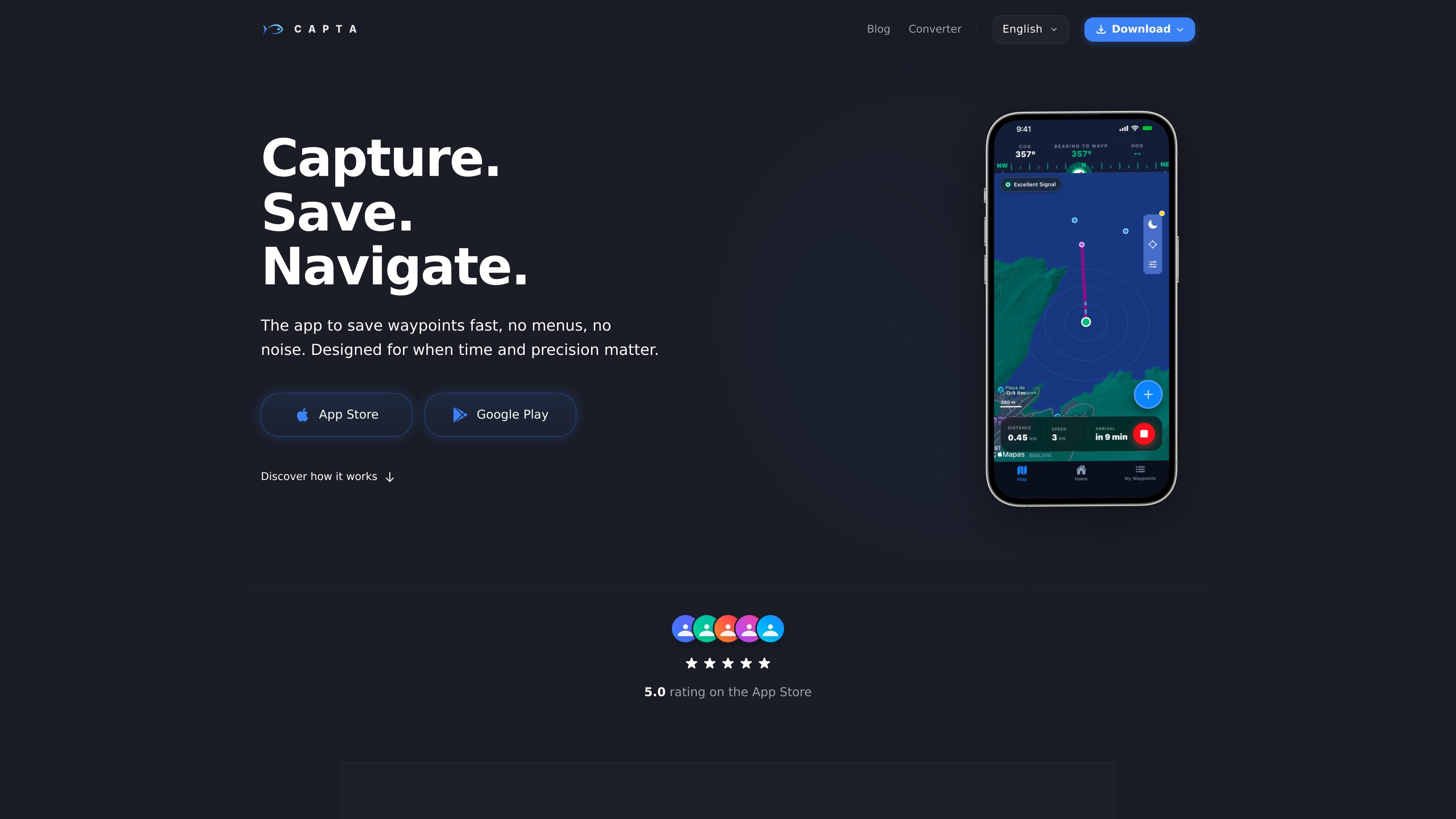
CAPTA is a mobile waypoint and GPS coordinate app for quickly saving, organizing, and revisiting locations. It is designed for situations where users need to record a position with minimal interaction, including open water, mountain routes, and other areas with limited connectivity.
A waypoint can be captured from the phone's current location, entered manually, or read through the camera. Users can add a photo, name, or note, then return to saved points later or export them in GPX format. Locations are stored locally by default; an optional free account adds synchronization across iOS and Android devices.
Save the current position with a single tap, without navigating through menus.
Create a point from the current location, enter it manually, or capture coordinates through the camera viewfinder.
Attach a photo, name, or note to a waypoint, while the app can also save wind, weather, and other contextual data at the time of capture.
Save and view locations without mobile coverage or Wi-Fi by using the phone's GPS sensor.
An optional free account synchronizes waypoints between iOS and Android devices, including saved photos and notes.
Export saved waypoints as GPX files for use with Garmin, Google Earth, Navionics, and other supported navigation software.
Mark a private fishing location from a boat, kayak, or shore, then record a photo, note, and the conditions captured with the waypoint for later reference.
Save trail milestones or remote landmarks when traveling beyond reliable coverage, then access the stored locations while offline.
Point the phone's camera at coordinates shown on paper or a screen so CAPTA can capture, convert, and save them without manual retyping.
Use GPX export to move saved points into tools such as Garmin, Google Earth, or Navionics for use in an existing navigation workflow.
Keep a personal location archive on more than one phone by signing in to an account and synchronizing waypoints, photos, and notes between iOS and Android devices.
Yes. CAPTA can save and display waypoints without mobile data or Wi-Fi because it uses the phone's GPS sensor. This is intended for areas such as open water and remote mountain locations.
By default, data is saved locally. If you create a free CAPTA account, waypoints can be securely synchronized across your iOS and Android devices, including associated photos and notes.
Yes. Waypoints can be exported in GPX format. The site describes GPX as compatible with Garmin, Google Earth, Navionics, and other navigation applications.
The current version can be downloaded and used for free. The site does not provide detailed plan limits or subscription terms.
CAPTA is designed to reduce battery use by activating high-precision GPS when capturing a point rather than continuously during the journey. Actual battery life will depend on the device and conditions.

MacSpoof is a macOS MAC address changer that lets you change or randomize your Wi‑Fi MAC to reconnect and limit device logging on public Wi‑Fi.

DemoTV is an audience-ranked station for discovering and comparing independent product demos. Submit videos, embed approved demos, collect inquiries or commission production and labelled promotion.

NomNak is a free iPhone app for discovering restaurants through friends’ recommendations, with saved spots, a food passport and city search.

Ctrl+Shift+3 is a calm, text-first community platform with chronological feeds, profiles, RSS, and private Clicks for smaller communities.

Hexel Editor is a macOS hex editor for opening, searching, inspecting, and editing binary files. Built for developers, reverse engineers, and security researchers.

TyeGit is a native Git client built with Rust and Tauri for fast, precise control over staging, commits, branches, and remotes on Windows, macOS, and Linux.