
Multi-factor property search
Search listings across the covered regions using relationship, public-land type, designation, property type, price, acreage, elevation, road access, flood-zone, and wildfire-hazard filters.
Unfenced is a web-based land search tool that finds active listings bordering, within, or near public land using USGS PAD-US data. Compare, map, export, and monitor rural properties.
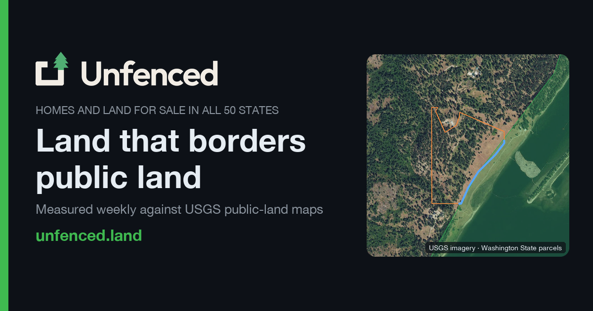
Unfenced is a web-based land search tool for finding active property listings that border, are within, or are near public land. It compares listing parcels with public-land boundaries from USGS PAD-US 4.1 rather than relying only on descriptions in real-estate listings.
The service is designed for people evaluating rural land and public-land adjacency, including buyers who want to inspect shared boundaries, public access, acreage, terrain indicators, and potential constraints before following the source listing. Results are presented on a map and in searchable browse views, with caveats about data confidence and the need to verify important details independently.
Search listings across the covered regions using relationship, public-land type, designation, property type, price, acreage, elevation, road access, flood-zone, and wildfire-hazard filters.
Explore properties on an interactive map with zoom and pan controls, public-land geometry, parcel boundaries, and visual density cues for measured results.
Sort results by distance, shared boundary, public-land size, elevation, price, price per acre, acreage, or score to prioritize different buying criteria.
View measured frontage, nearest plausible gap, relationship status, confidence, public-land unit, access designation, and listing details on result and property pages.
Use the 0–100 matching score to compare evidence quality and ranking inputs, including relationship, distance, access, unit size, frontage, confidence, and estimated-border penalties.
Export search results as CSV or Google Earth KMZ, and subscribe to weekly email alerts for new listings matching a browse view.
Filter by state, acreage, price, road access, and public-land relationship to build a shortlist of rural parcels for further review.
Compare measured frontage, connected public-land size, access designation, and confidence when looking for parcels positioned beside forests, wildlife areas, wilderness, or other public holdings.
Review elevation, flood-zone, and wildfire-hazard indicators alongside listing details to identify questions for due diligence before contacting an agent or visiting a property.
Download a filtered result set as CSV or KMZ to continue comparing candidates in a spreadsheet or Google Earth workflow.
Subscribe to weekly alerts when monitoring a region or set of search criteria for newly appearing listings.
Open unfenced.land/map or browse by state. Use filters such as relationship, public-land type, acreage, price, elevation, road access, flood zone, and wildfire hazard, then sort the results or open an individual listing.
The map and browse views provide listing details such as address, price, acreage, public-land unit, relationship, frontage or gap measurements, elevation, road access, flood-zone information, wildfire hazard, and confidence where available.
Unfenced compares parcel boundaries with public-land geometry from USGS PAD-US 4.1. On a detailed property page, it explains whether the county parcel boundary was retrieved and directly compared, or whether the result relies on an estimate or another lower-confidence method.
No. Unfenced states that it is an analysis of publicly available boundary data, not a survey or a listing service. It recommends verifying boundaries against county records and a survey before relying on them, and notes that legal road access is a title question.
The site states that listings are refreshed about every week. Listing status, prices, and other details should be checked on the linked listing before making decisions.

ClayHog is an AI search visibility platform for tracking brand presence in ChatGPT, Gemini, Perplexity, Claude, and Google AI Overviews from one dashboard.

Grok is a free AI assistant developed by xAI, engineered to prioritize truth and objectivity while offering advanced capabilities like real-time information access and image generation.

qbrin is an enterprise AI search and governed agent platform that turns company knowledge into cited answers and can abstain when evidence is missing.

Octen is a search infrastructure for AI apps needing live web context, structured answers, and retrieval tools via API, SDKs, Skills, MCP, and CLI.

Scite is an AI research platform for finding papers, checking citation context, and getting answers grounded in scholarly literature and patents.

AI-driven wiki aggregator created to enhance user experience on Wikipedia by streamlining knowledge consumption.